Satellite challenges Australia’s methane emission reporting
Carbon Neutral
DateDecember 2021
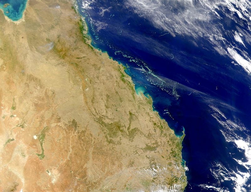
The accuracy of reported methane emissions of Queensland’s coal-rich Bowen Basin have been called into question by geospatial analytics firm Karryos. The London-based company has used satellite imagery from the European Space Agency in conjunction with meteorological data and atmospheric models to investigate and measure methane leaks from the fossil fuel industry.
They found that the annual methane emissions from the 50-odd mines in the basin are two thirds greater than what the federal government has reported. “These numbers [in the Bowen Basin] are the equivalent of the total carbon footprint of a medium-sized European country like Austria or the Czech Republic,” Karryos’ Christian Lelong told the ABC.
Methane warms the atmosphere about 84 times more than carbon dioxide, but does have a shorter lifespan of 12 years compared to the 100-year presence of CO2. Australia was missing from the COP26 pledge signed by more than 100 countries to reduce methane levels by 30% by 2030. The opposition Labor party also has no plans to sign the pledge if it wins at the next election.
A recent paper by climate scientists in the Netherlands also echoes this under-reporting of Australia’s methane emissions from coal mining. Their analysis studied the Hail Creek mine in Queensland, and found them to be significantly higher than those reported to the Australian government.
The ABC asked coal mining giants in the area BHP and Anglo American for more information on how they measured methane levels, and neither provided details.
Read the ABC’s story here.
Share This